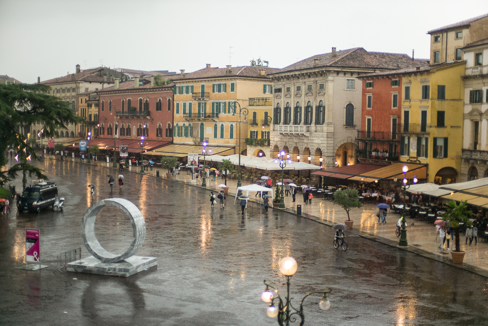
Both spectacular Roman sites, Verona’s Arena and Amphitheater, impress with their ancient roots and extensive and well-fortified walls. The walls foundations are from Roman times, with various extensions added during the middle ages. With a capacity of several thousands of spectators, Verona’s arena enchants and its very presence dominates the city square.
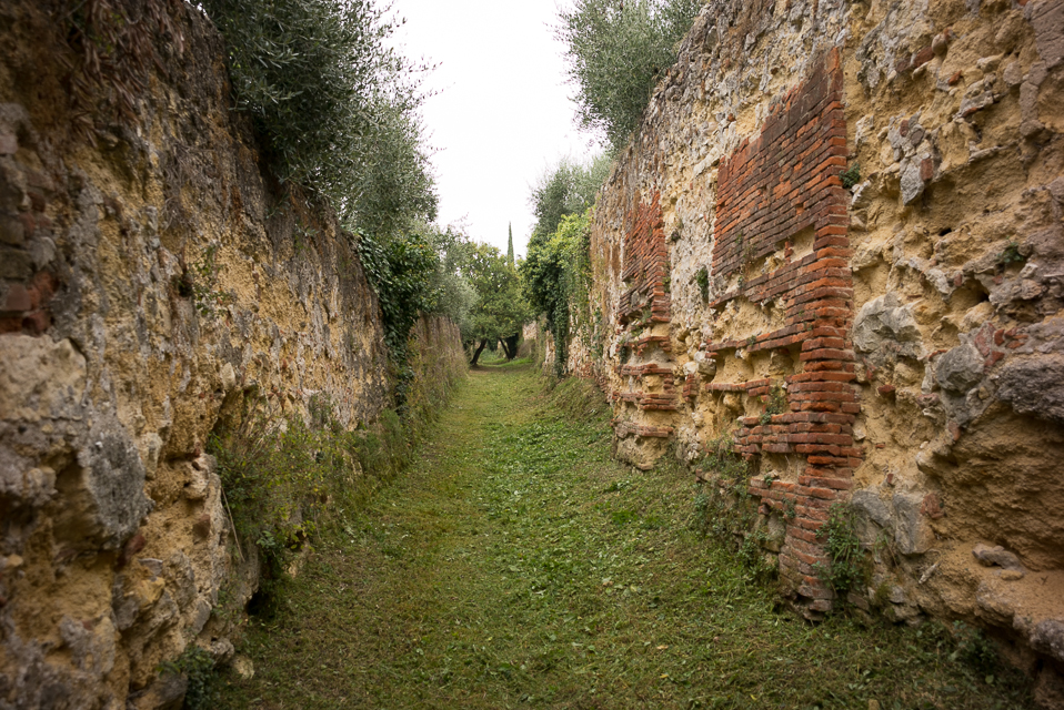
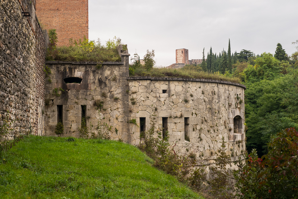
Verona is an old city, and as the Romans conquered the Italian peninsula, was to become a city of some importance, lying directly to the North and along the direct route to the Balkans and Danube provinces, with the bridge over the River Adige being a significant strategic asset. The city was walled for much of its history, including a very recent renovation of these walls in the 1800’s as a stronghold of the Austro-Hungarian empire’s Italian holdings. The walls encompass both sides of the river, with farm land and the Roman amphitheatre on the north side of the river, and the city itself and the Arena on the south side. The city’s entire central area is listed as an UNESCO world heritage site.
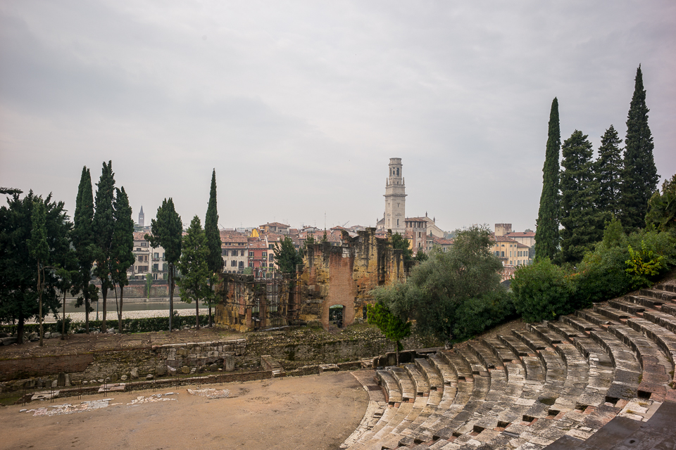
While both the Roman Arena and Amphitheatre are spectacular sites, what struck me most about the city was the its extensive and well fortified walls. The walls foundations are from Roman times, with various extensions added during the middle ages. As recent as the 19th century the city walls still had a place in the general defensive strategies for the broader region. These fortifications saw the Austrians installing fortifications enclosing the city within a fortified radius of over 30kms. The World Monument’s Fund has a very detailed pamphlet, The Walls of Verona authored in 1954 if you are interested to read further.
The city walls, though shorter in distance and encompassing area, are in their height comparable to both the Aurelian walls around Rome and the Theodosian walls around Constantinople (Istanbul) and enclose a larger area than the walls of York. Surprisingly though, very little mention is made of them in the tourist brochures. I can’t seem to find any details of their overall length, or the size of the area enclosed, but they would have to be over 10kms long, and a general area of at least 8km/squared.
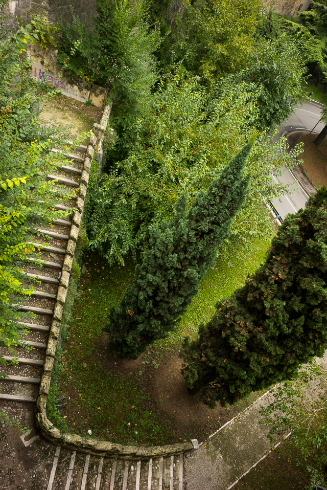


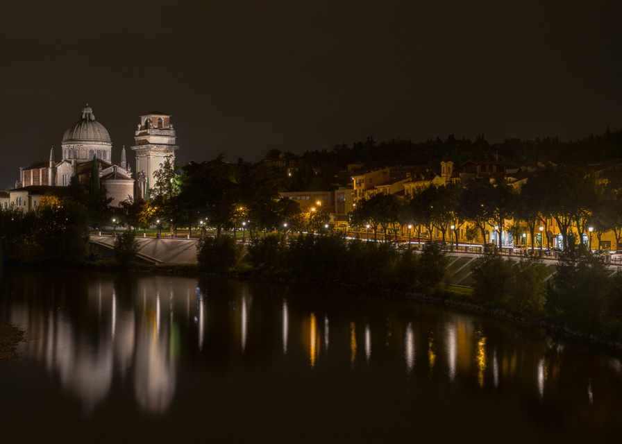
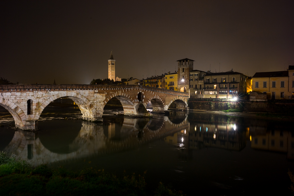
Verona is built around an “S” curve of the River Adige, which is a tributary of the River Po. The river divides the old city into two sections. The northern part of the city is very hilly and is mainly farming and vineyards. The original settlement was built as it traversed the river and lay on the easiest north-sound road of Italy. Looking at a map, Verona lies due north of Rome and is a logical point to cross the River Adige to reach the north-eastern provinces, and to the further east. The crossing of the river by the Ponte Pietra, like many Roman bridges is built to last; in floods in the 19th Century, the waters of the Adige rose 8 metres, every bridge was washed away except for this. However, all the bridges in Verona, and much of the town itself was destroyed or severely damaged in WWII; after which a significant restoration process has been undertaken.
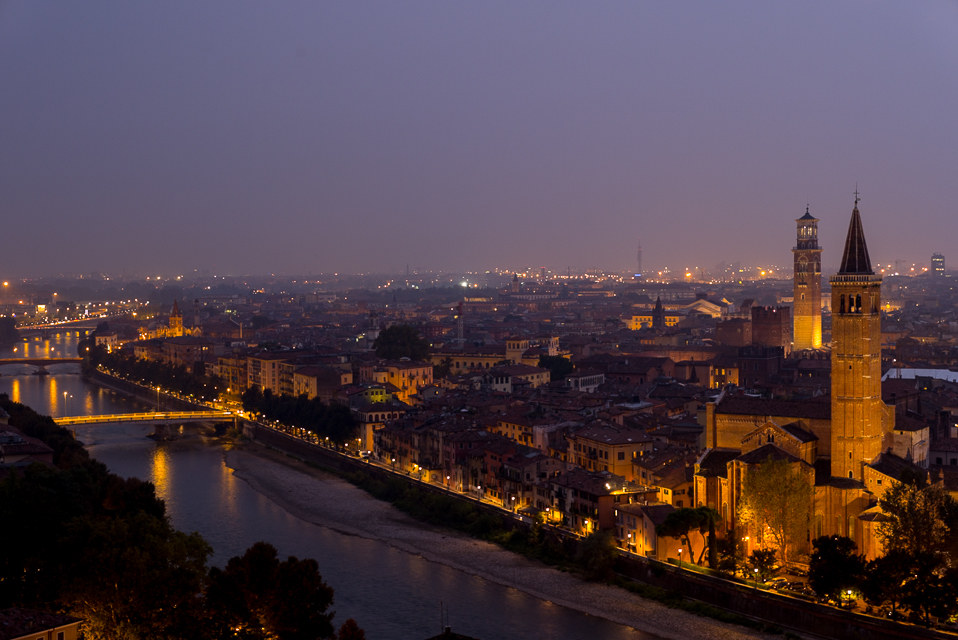


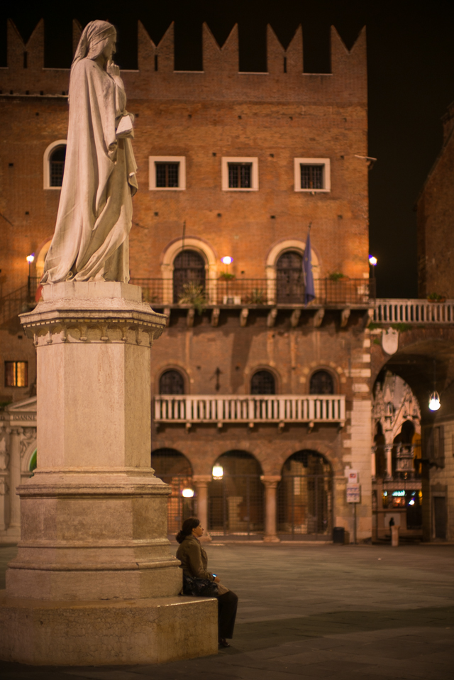
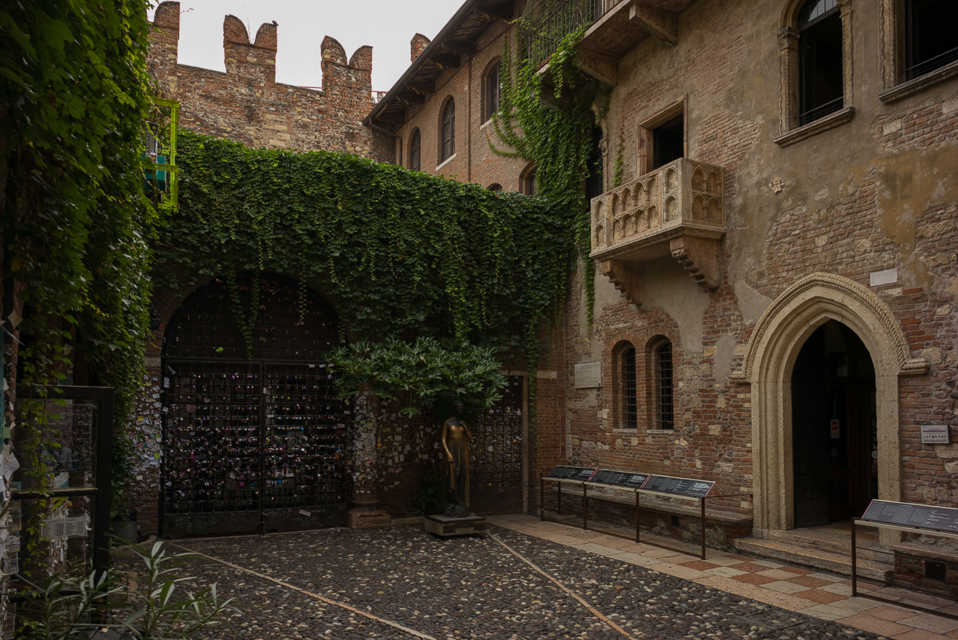
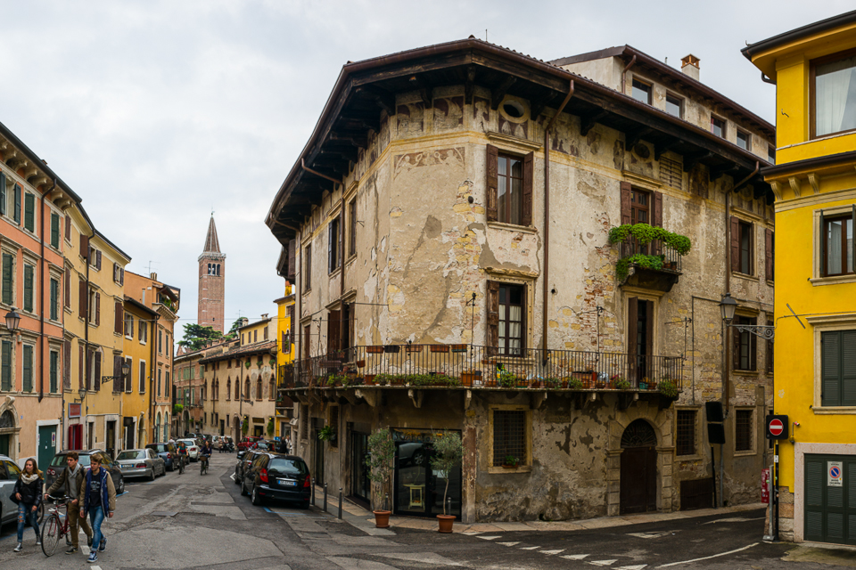
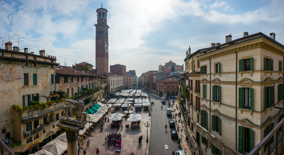
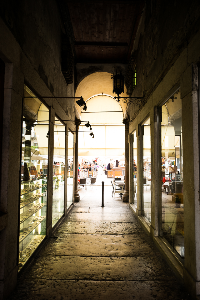
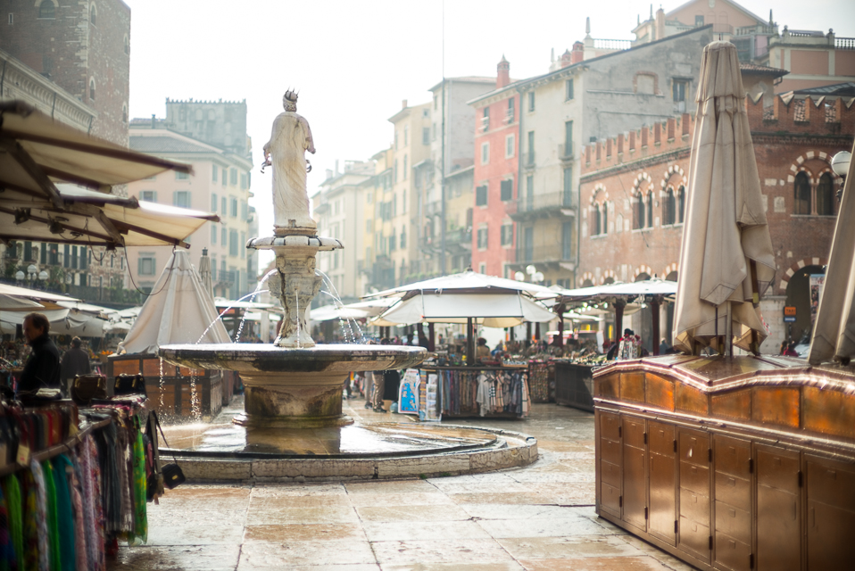
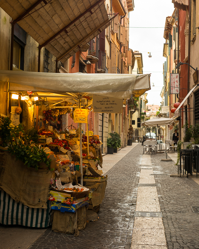
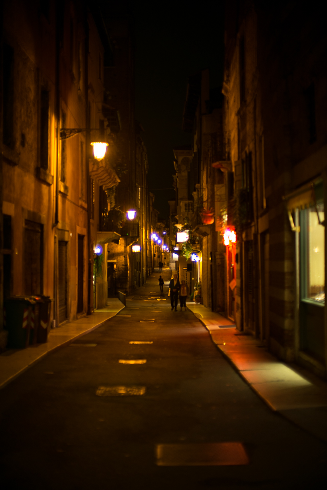
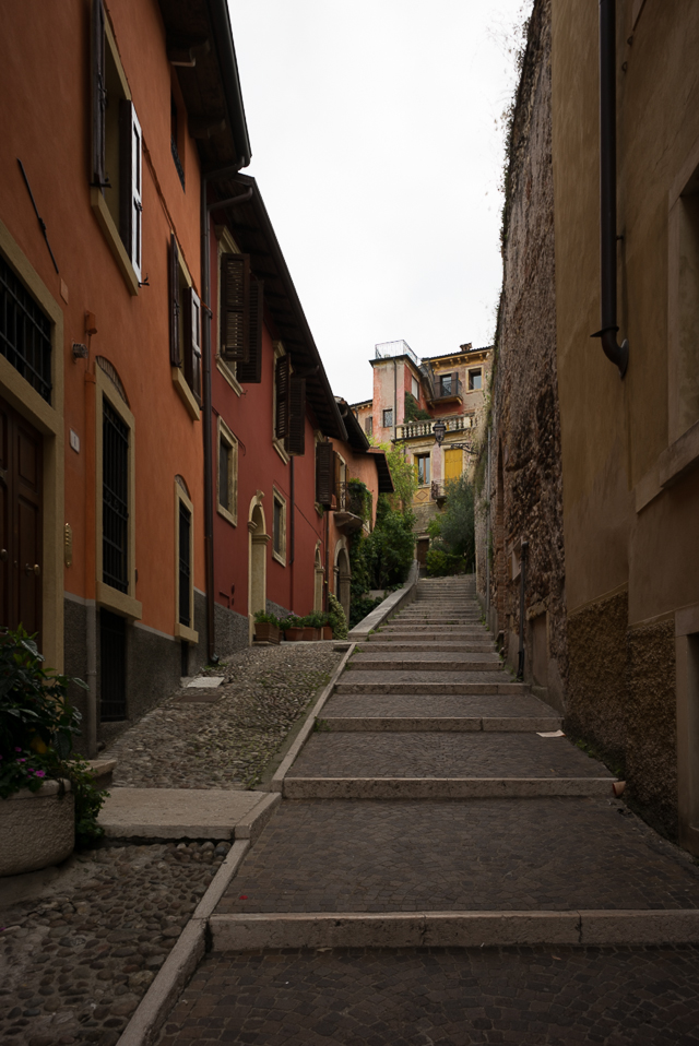
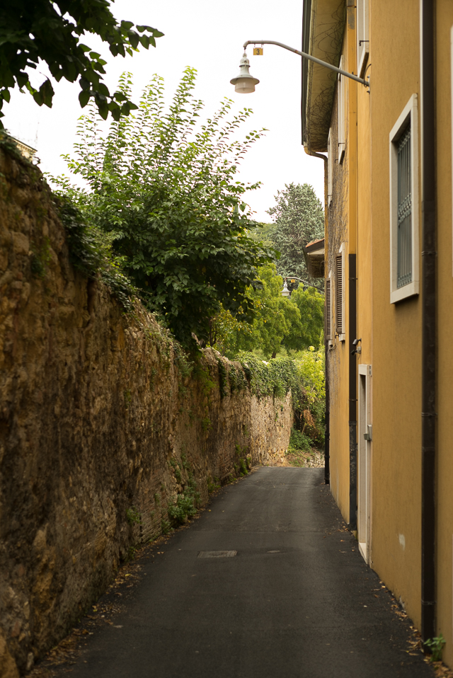
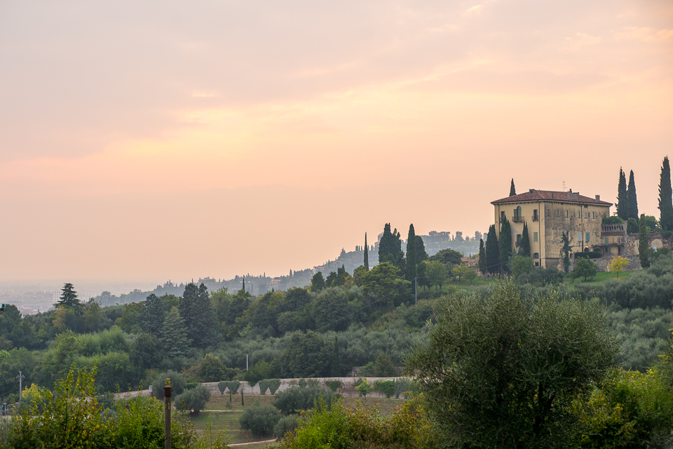
While the terrain on the north side of the river is hilly and the land has villas and parks, the south side of the river is a bustling, medieval type town of considerable size and one of the best preserved (or perhaps restored is a better description!) cities of its age. Its narrow streets, piazzas walled within multi-storied buildings, lend it a highly urbanised sensibility. Shakespeare wrote three plays based in Verona: The Gentlemen of Verona, The Taming of the Shrew, and of course, Romeo and Juliet, with Juliet’s balcony a popular destination lying in the heart of the city.